Satellite imagery for a successful energy transition
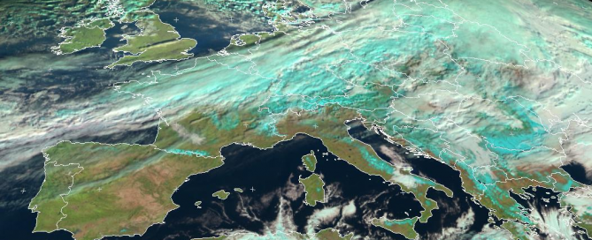
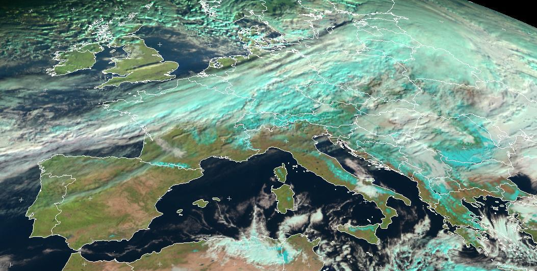
The relationship between satellite images and renewable energy sources (RES) is not necessarily easy to pinpoint. However, the use of satellite imagery is crucial to achieve a successful energy transition! Indeed, the latter enable to map, monitor and forecast the solar irradiance reaching Earth. It is of prime importance to geo-locate the appropriate photovoltaic (PV) implementation areas and to identify in real time a territory’s