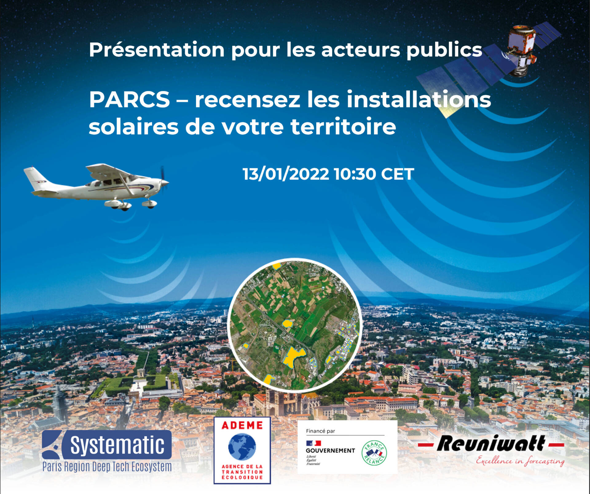
 Reuniwatt has developed an innovative technique to identify and map a territory’s solar installations from the sky: PARCS, or Photovoltaic Atlas Remotely Captured from the Sky. A patent was filed in early 2021. The project has been selected for the project accelerator “IGNfab” by the French Mapping Agency IGN.
This tool supports the diagnosis and decision making of public actors in their energy transition process at the local level. In line with the goal of achieving one third of renewable energy in the final energy consumption by 2030, PARCS makes it possible to assess the current state of the photovoltaic installations in the area in question. The entities concerned can also rely on our solution for the monitoring and implementation of their environmental initiatives, such as the Territorial Climate-Air-Energy Plan (PCAET) for France.
The video below was made on April 6, 2021 during the signing of the partnership agreement between Reuniwatt and the Paris Est Marne&Bois intercommunality, which represents our first pilot project in continental Europe for PARCS.
Diagnostic Tool
Diagnostic Tool
PARCS recognizes the presence of PV installations within the territory concerned.
Tracking progress
Tracking progress
If you renew your maps regularly, PARCS facilitates the monitoring of solar installations and, in the long term, can help network managers to better anticipate variations in photovoltaic production.
Comparative analysis within a territory
Comparative analysis within a territory
PARCS allows the comparison of the coverage rate of photovoltaic installations in several areas within a defined territory.
Method
PARCS mapping is carried out using airborne or satellite images, which allows for global coverage. It allows to compare the percentage of photovoltaic installations in several areas within a defined territory. This contribution is essential to communicate on the environmental commitment of the territory through key figures such as the number of installations recorded.
The automatic detection system for photovoltaic installations was built around an artificial intelligence algorithm.
The first proof of concept was supported by the Reunion Island Region and ADEME Réunion, with a first atlas reconstructed for Reunion Island.
As a pilot project in continental Europe, partnership with Paris Est Marne&Bois has been signed:
- Paris Est Marne&Bois is the pilot territory of PARCS in metropolitan France.
- This collaboration is a valuable contribution to the adaptation of PARCS to the characteristics of an urban territory and to the problems of the public actors.

This project has been financed by the French Government within the framework of France Relance.


