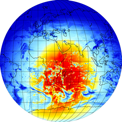
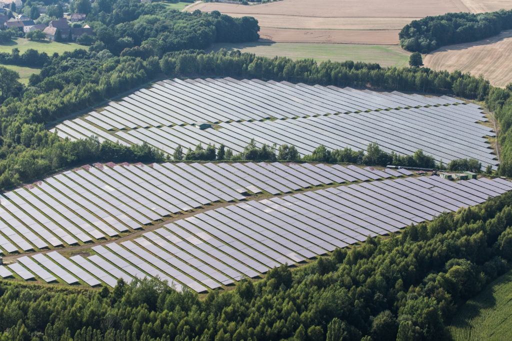
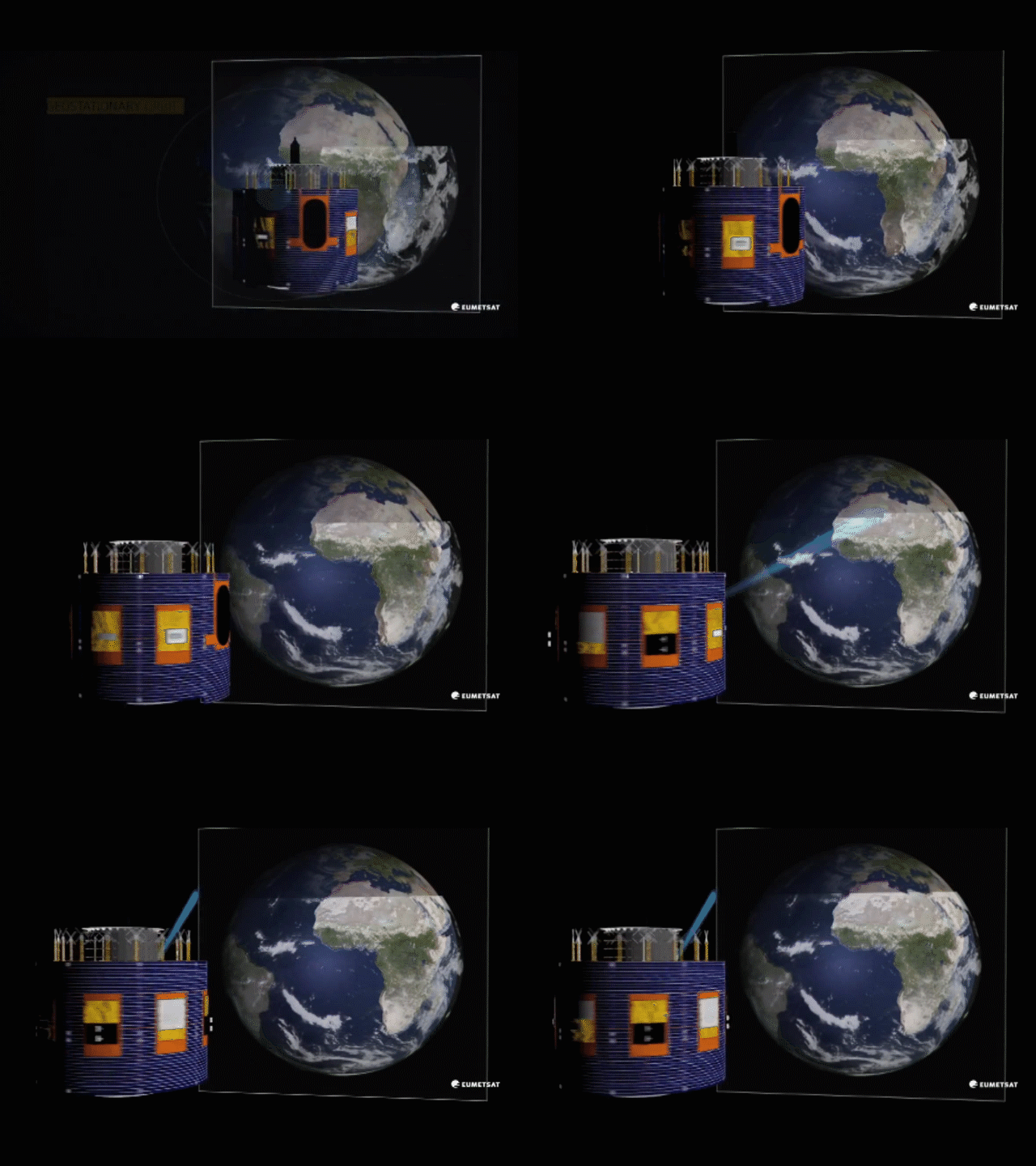
Intraday solar forecasts are obtained through the treatment of real time satellite images coming from several geostationary satellites. The forecasts are available for any site on the planet. Reuniwatt’s forecasting method is based on the clouds’ motion vector. This method has been recognised by solar experts as the most efficient on the market.
Enhanced precision for any type of climate
Enhanced precision for any type of climate
Reuniwatt has developed several methods which are efficient for all climate types: insular, coastal, mountainous areas… The satellite observation performance is guaranteed by the concerned spatial agency.World coverage thanks to 5 satellites
World coverage thanks to 5 satellites
Reuniwatt receives the live images of five geostationary satellites, enabling a forecasting service anywhere in the world.Swift deployment and maintenance-free
Swift deployment and maintenance-free
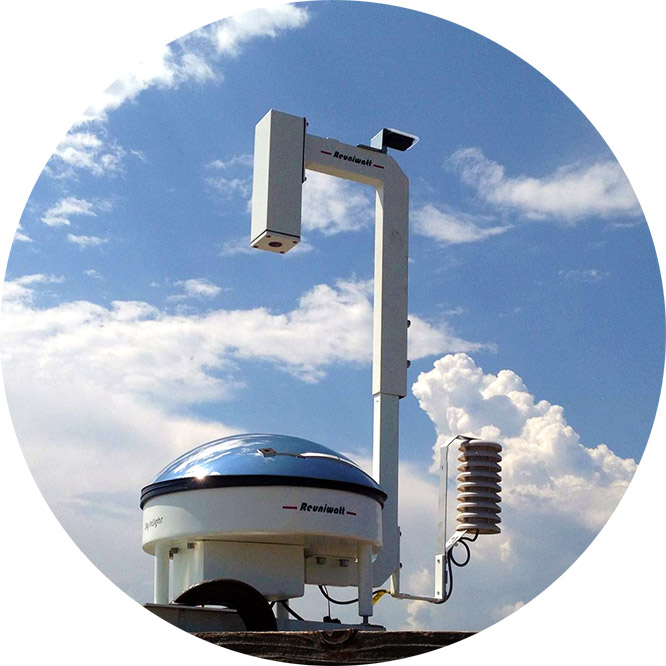
Reuniwatt’s intraday forecasting method does not require hardware installation. Indeed, as it relies on satellite images, its deployment is very quick and maintenance-free.Methodology
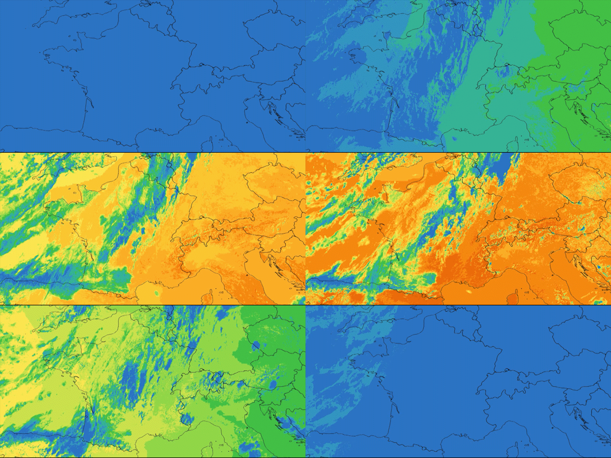
Satellite imagery enables to monitor cloud masses on a large scale, while offering a refined observation of solar plants’ meteorological environment. It is a precious tool for intraday forecasts, up to six hours ahead.
Intraday forecasts rely on solar irradiance mapping methods using satellite images. The clouds’ trajectory is determined by the treatment of several successive images, allowing cloud cover anticipation on a specific location.
Our satellite-based method has obtained the best forecasting results during a benchmark which took place between experts (academic and industrial) organised within the International Energy Agency‘s Task 46.
The use of intraday solar forecasts with our satellite method has many advantages compared to traditional meteorological forecasts as it enables:
- To add data on a large zone, in real time, thus efficiently completing meteorological models thanks to direct observation.
- To follow in details the clouds’ movements which will directly have an influence on the solar irradiance received on the ground.
Features
Forecasts for single sites, site portfolios or entire territories
Temporal resolution up to 10 minutes
Spatial resolution up to 0.5 sq. km
Forecasts in GHI (global horizontal irradiance), DNI (direct normal), DHI (diffuse horizontal), GTI (global tilted), power (kW)
Flexible sending (API, FTP, email, …) and format (csv, txt, …)
