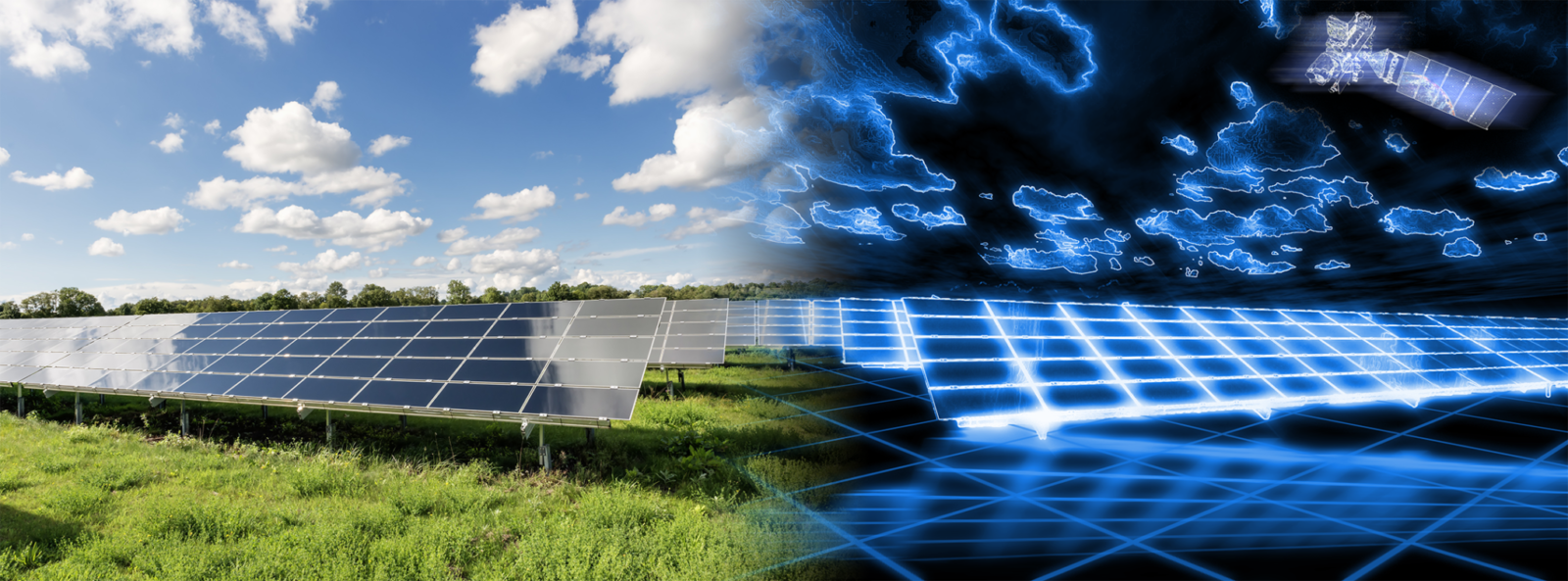
SunSat™, Reuniwatt’s reliable satellite-to-irradiance technology, is based on the regular high-resolution earth observation provided by geostationary satellites, and delivers accurate local irradiance data for any location – worldwide. It can be used in two different ways:
- SunSat™ live: As a real-time monitoring service available for any site or portfolio of solar installations on the planet.
- SunSat™ time series: As a service to retrieve historical irradiation time series, for any site on the planet.
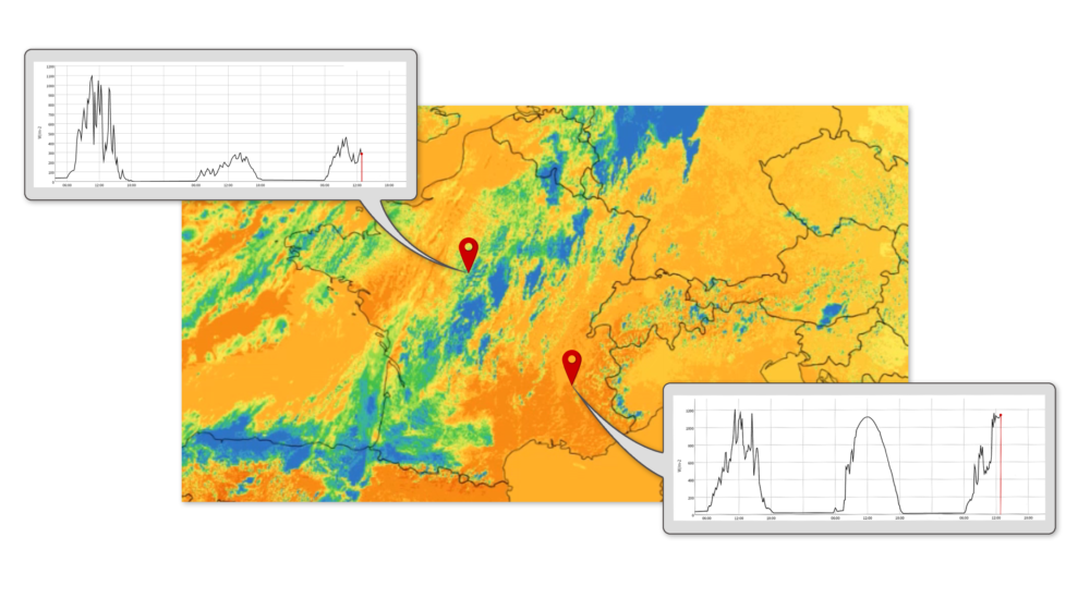
Hardware-free solution
Hardware-free solution
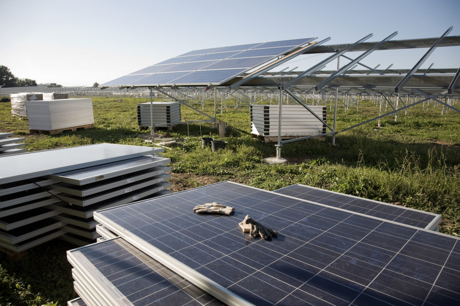
No matter the number of solar plants in your portfolio, SunSat™ enables you to get a precise estimation without installing any hardware.
World coverage thanks to 5 geostationary satellites
World coverage thanks to 5 geostationary satellites
Reuniwatt receives the live images of five geostationary satellites, enabling an irradiance estimation service anywhere in the world.
Accurate and reliable data
Accurate and reliable data
SunSat™ provides accurate and reliable data for already monitored or unmonitored PV plants. Beyond 25 km, ground measurements are less precise than satellite data.
Methodology
SunSat™ is a methodology which uses geostationary meteorological satellites to estimate solar irradiance. Images provided by the visible channel of the satellite sensor can be converted into global horizontal irradiance (GHI) maps with a proven accuracy.
SunSat™ benefits of constant improvement to increase the accuracy of the data provided. It is based on an original technique eveloped by Reuniwatt (Cros et al., 2015) and derived/optimised from the work developed about 15 years ago the Mines Paristech under the direction of Lucien Wald, made by Rigollier et al. (2004) and Cros et al. (2004).
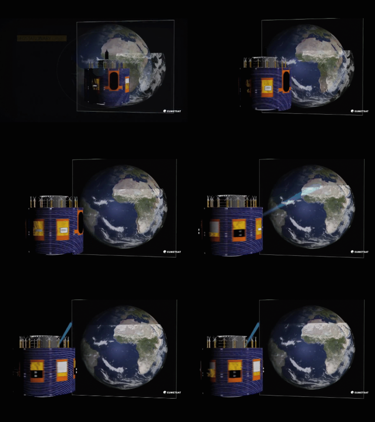
SunSat™ services
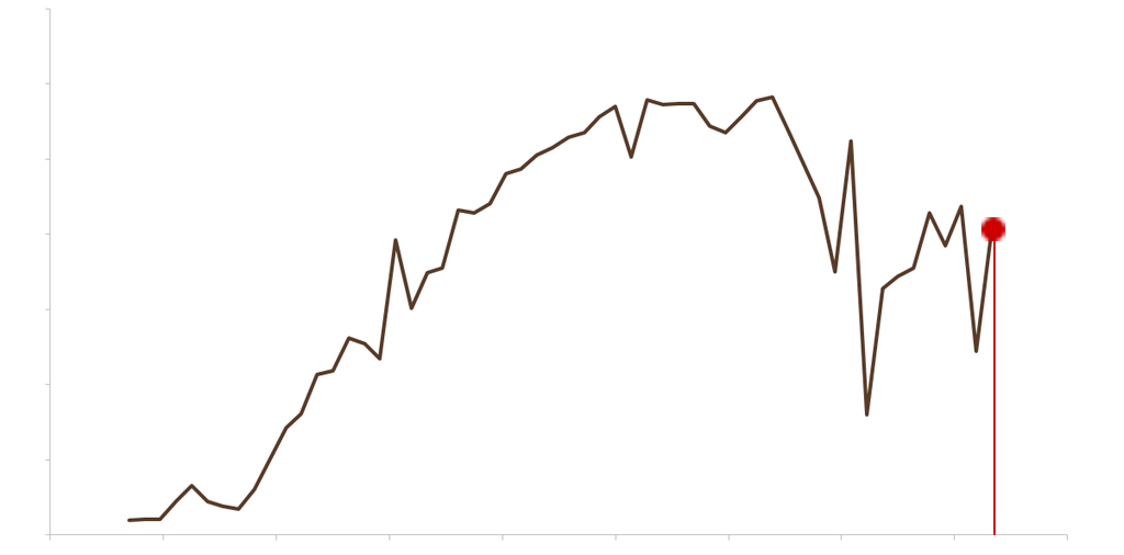
SunSat™ Live: real-time irradiance and weather data
The use of satellite data for real-time estimation in a purpose of monitoring offers many advantages compared to sole in-situ measurements:
- Unbiased and independent vision of the estimated irradiance over a plant or a portfolio of installations
- Quick detection of any instrumental failure or soiling by comparing actual power generation and satellite estimation
- Immediate and affordable set-up (no hardware needed)
- Larger field of view (macroscopic vision vs microscopic vision)
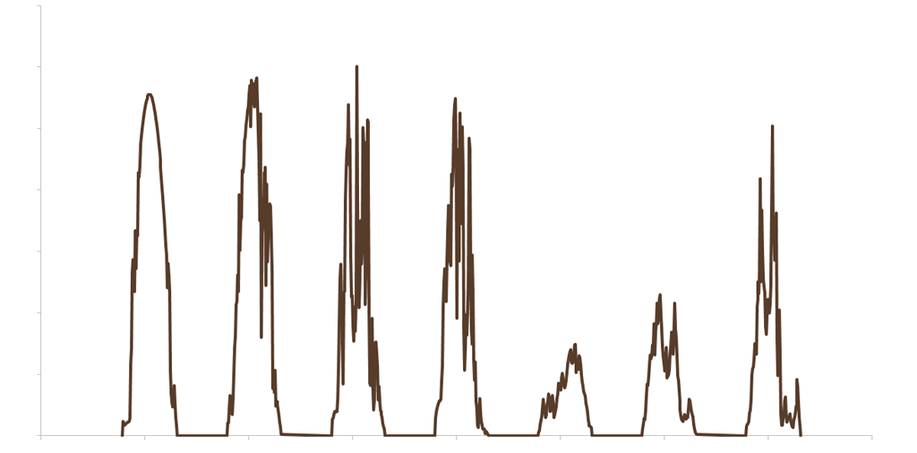
SunSat™ Time Series: historical irradiance and weather data
The use of historical satellite data is crucial within the first phases of a solar project. Irradiance time series are necessary to:
- Optimally size and design solar power plants
- Realise technical and financial studies for due diligence
- Reassure investors through bankable data
Obtain PVsyst compatible data
