The European Union has been taking a groundbreaking step in addressing aviation’s climate impact by introducing mandatory monitoring and reporting of non-CO₂ emissions, including contrails, from January 2025. This initiative is part of the EU Emissions Trading System (EU ETS) framework and represents the first large-scale effort globally to systematically track contrails from flights within the European Economic Area (EEA). Contrails, which form when aircraft exhaust interacts with atmospheric moisture, contribute significantly to aviation’s warming effect—possibly more than CO₂ emissions themselves—making their observation critical for sustainable aviation policies in Europe. However, the scope is currently limited: only flights within the EEA and to Switzerland or the UK are included, while long-haul and extra-EEA flights are temporarily exempt, despite these routes accounting for a majority of contrail-related warming. This phased approach is intended to ensure data precision and a smooth rollout of the monitoring, reporting, and verification (MRV) system.
All-sky Imagers: Precision Tools for Contrail Observation
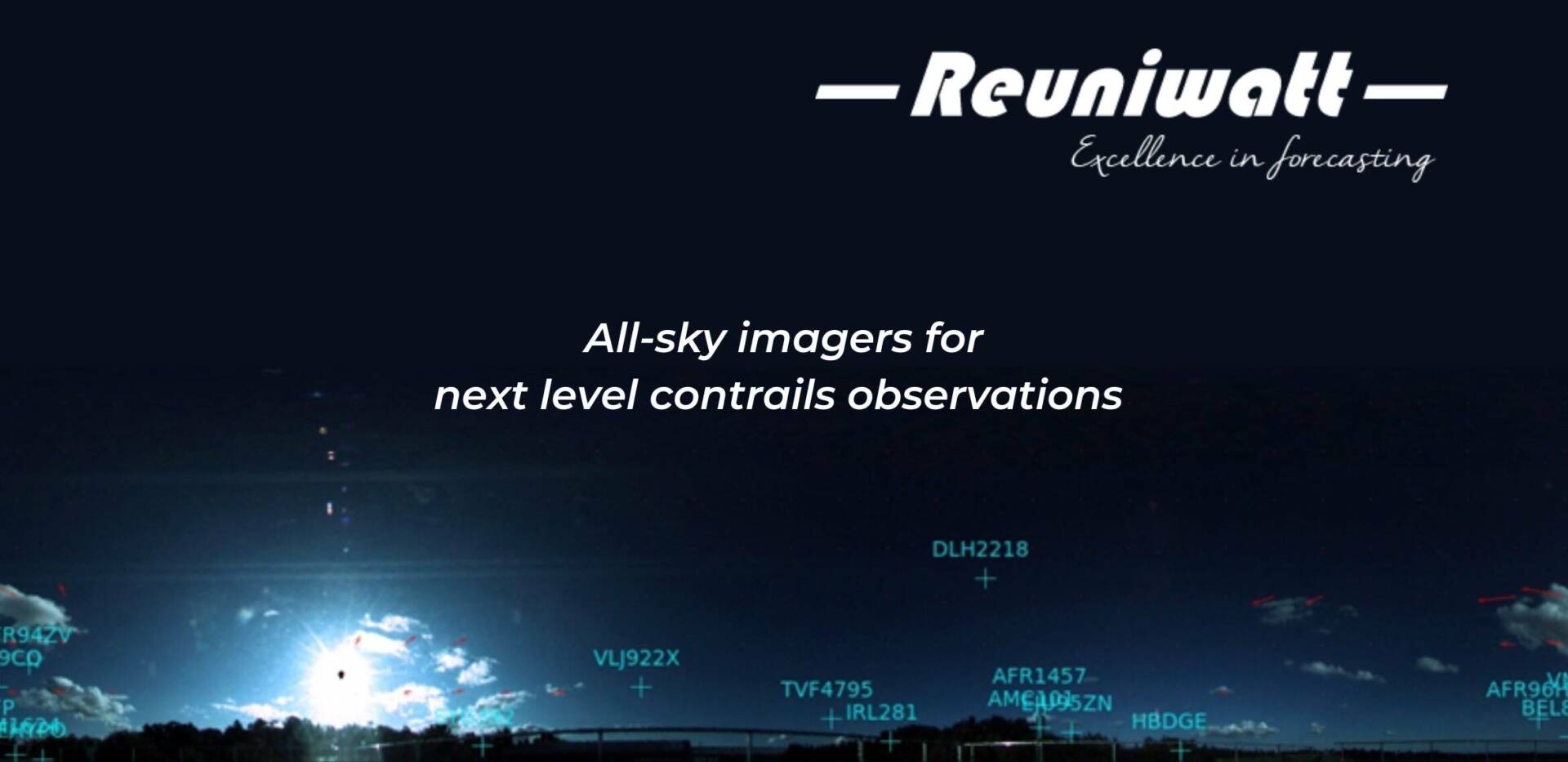
Reuniwatt’s all-sky imagers, including visible-range imager Sky Cam Vision™ and infrared imager Sky InSight™, provide continuous, high-resolution monitoring of contrails both day and night, complementing satellite data for robust identification and verification. These technologies are crucial for the EU’s MRV requirements, helping distinguish contrails from natural cirrus clouds and capturing the “big hits”—the few events responsible for most radiative forcing and atmospheric warming. Understanding and forecasting contrail formation and persistence are key to effective mitigation strategies. For a detailed overview, see our article “Big Picture” for the climate impact of contrails.
Ground-Based and Satellite Insights: Identification and Verification
Reuniwatt’s imaging systems, enhanced by AI-driven analysis, ensure precise differentiation between contrails and other cloud types. Our webinar, “Contrails observations – From lab to airfield”, compares satellite and ground-based approaches and highlights our work at the EUROCONTROL Contrails Observatory. Watch the webinar-on-demand to learn more.
Forecasting Contrails to Support EU Aviation Decarbonization
Forecasting contrail formation is integral to the EU’s aviation decarbonization strategy. By integrating all-sky imagery with numerical weather prediction and AI in the CONTRAILS project, Reuniwatt and partners are enabling more accurate forecasts to guide airlines in contrail avoidance. This supports EU efforts to optimize flight paths and increase sustainable aviation fuel use. For deeper insights, view our webinar “Contrails in the Climate System – Enhancing NWP through Cloud Observation and AI”.
Connect with us for EU Contrail Solutions
Reuniwatt’s all-sky imagers and expertise stand ready to support enhanced contrail observation, identification, and forecasting efforts. We already have a network of numerous all-sky imagers available. Contact us to learn how our solutions can support your goals.
