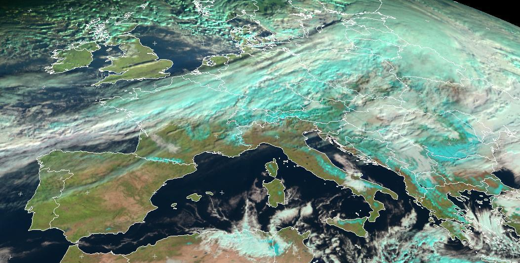
The relationship between satellite images and renewable energy sources (RES) is not necessarily easy to pinpoint. However, the use of satellite imagery is crucial to achieve a successful energy transition!
Indeed, the latter enable to map, monitor and forecast the solar irradiance reaching Earth. It is of prime importance to geo-locate the appropriate photovoltaic (PV) implementation areas and to identify in real time a territory’s solar power production.
Mapping
An identification of the geographical zones with a strong RES potential (sun, wind, wave) is necessary before installing new power plants. Satellite images enable project developers to locate these RES potentials, thanks to Geographic Information Systems (GIS) and Climatic Information Systems.
Monitoring
Once the RES are set up, it is important to make sure the latter work properly, in order to maximise the project’s return on investment. Satellite-issued data are used to compare the production on a particular site with its solar irradiance (given in Watts per m²). The hybridisation of ground sensors and satellite images allows to identify any malfunction; project managers now have the right tools in hand to take the necessary measures when need be.
Forecasting
Eventually, satellite images are one of the essential instruments to forecast solar power production. Indeed, they enable to predict the cloud cover’s evolutions in the hours to come. This is particularly important for a massive and secure injection of photovoltaics into the grid, as this energy is intermittent.
Thanks to the satellite-issued decision-making tools offered by Reuniwatt, electricity needs, weather-dependant power production and energy infrastructures match.
Beyond the sole energy sector, the entire range of weather-sensitive activities can also benefit from the satellite data treatment tools developed by Reuniwatt.
